|
|
|
Core Technologies
InfiniNavTM provides abundant features and friendly user experience -
- Dynamic seismic survey data display shows sensor updates on the scale of 50,000
channels.
- Vehicle tracking helps managing crew.
- Reversed Geocoding provides quick road information retrieval.
- Automatic navigation recording provides history review
- Record each user navigation operation
- Store screen shots of each navigation operation. Users can easily take advantage
of these graphical files to make animated graphical files such as Adobe FlashTM,
Animated GIF, etc.
- Support performance monitor functionalities to help fine tune the application.
- Provide layer management to help display the GIS and survey information based on
users’ preferences.
- Take full advantage of multi-core / multi-CPU computer systems. The more CPUs /
Cores in the computer, the faster the map engine works.
- Free GIS data of one state upon user’s request.
- Microsoft RibbonTM based user interface guides users master the skills
of using the software via a smooth learn curve.
|

|
|
|

|
|
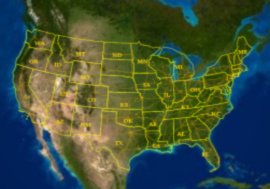
[US Map]
|
|
|
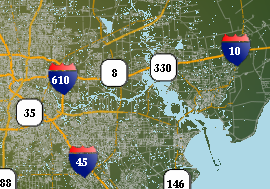
[City Map]
|
|
QUICK LINKS
|
|
|
HIGH LIGHTS
|
|
WHY MAP ENGINE IMPORTANT?
Two Major Trends
Two major trends – rising demand globally and depletion of current oil reserves. More…
CRUCIAL STEP
Map engine, which provides constant and real time seismic data updates, remains
the most crucial step of a successful geophysical survey. More…
NEW DEVELOPMENT
Map engine, which provides constant and real time seismic data updates, remains
the most crucial step of a successful geophysical survey. More…
Archive
|